This article may contain affiliate links. If you book through them, we may earn a small commission at no extra cost to you.
On this page
Introduction: The Wilderness That Straddles Three Prefectures
Towada-Hachimantai National Park (十和田八幡平国立公園) — established in 1936 across the borders of Aomori, Akita, and Iwate prefectures — is divided into two distinct geographic sections that have almost nothing in common except the excellence of their autumn foliage.
The northern section is dominated by Lake Towada (十和田湖) — a caldera lake of extraordinary clarity and size, formed by volcanic collapse approximately 13,000 years ago, surrounded by beech forest that turns brilliant red and orange in October. The southern section is the Hachimantai Plateau (八幡平) — a high volcanic tableland at approximately 1,500 meters elevation, dotted with crater ponds, hot spring vents, and in autumn, one of the most dramatic high-altitude foliage landscapes in Japan.
The connection between the two sections is the Hachimantai Aspite Line (八幡平アスピーテライン) and Hachimantai Jukai Line (八幡平樹海ライン) — mountain roads of extraordinary scenic quality, open roughly mid-April to early November and closed under snow the rest of the year.
Lake Towada (十和田湖): The Deep Blue Caldera
Lake Towada is the largest caldera lake in Japan's Tohoku region — 10 km long, 7 km wide, with a maximum depth of 327 meters. The water's extraordinary clarity (Secchi depth over 10 meters) and the deep blue color produced by this clarity make the lake visually distinctive across all seasons.
The lake is surrounded by virgin beech forest (ブナ原生林) — a designation that means the forest has never been commercially logged and reflects its original ecological composition. In October, the beech, maple, and oak trees of this primary forest turn the entire lake circumference brilliant: reds and oranges reflected in the still blue water produce images of exceptional quality.
Oirase Gorge (奥入瀬渓流): Japan's Most Beautiful River Walk
The Oirase River (奥入瀬川) drains Lake Towada northward through a 14 km gorge — Oirase Gorge — that is designated both a Special Natural Monument and a National Natural Treasure, and is widely regarded as the finest river gorge walk in Japan.
The gorge's specific qualities:
Fourteen named waterfalls descend from the gorge walls into the main river over the 14 km section
The river's constant speed (too fast to freeze, too slow to erode the distinctive rock formations on its banks) maintains a consistent visual character throughout
- Old-growth forest overhangs the entire gorge — the path runs directly alongside the river under the canopy
Walking the gorge: A riverside path runs the full 14 km length of the gorge from Yakeyama (焼山) to the lake shore at Nenokuchi (子ノ口). Most visitors walk the southern 9 km (the most scenic section) from Yakeyama, taking 2.5–3.5 hours.
In autumn: The combination of the constantly moving water, the colored foliage, and the specific light quality within the enclosed gorge produces autumn photography that consistently appears in Japan's most celebrated nature collections. October 20th–31st is the typical peak.
Hachimantai Plateau (八幡平): The Volcanic Tableland
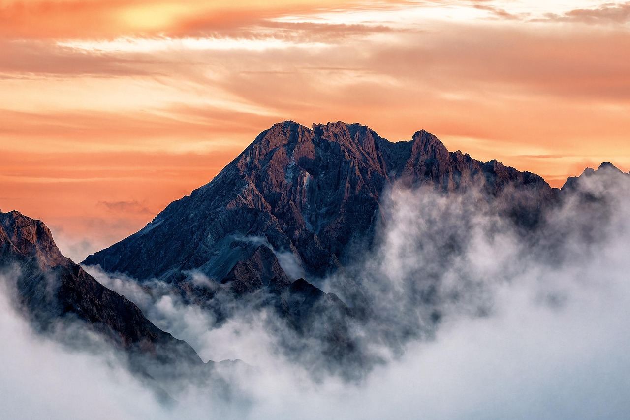
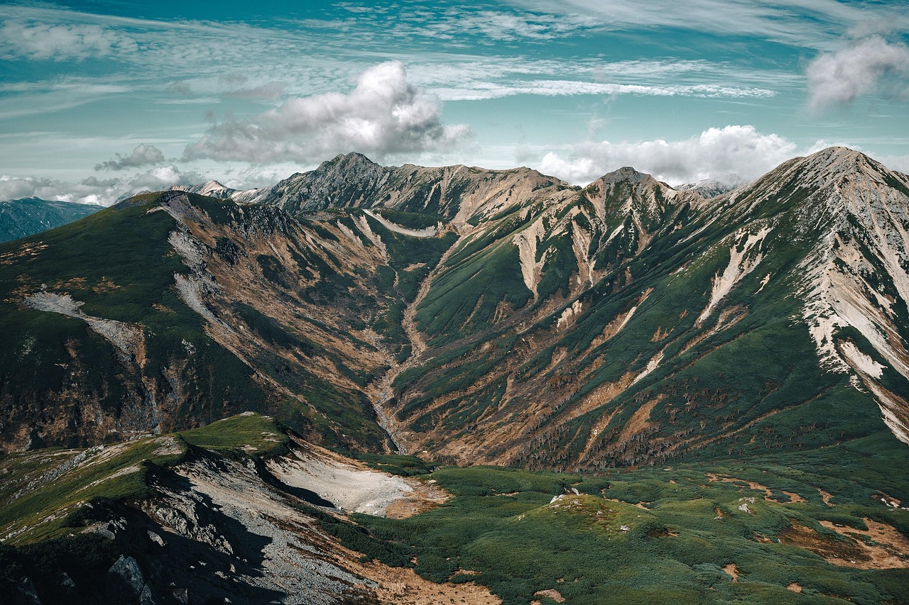
The Hachimantai plateau is a different world from the lake — a high volcanic landscape where the road crosses open tundra, crater ponds, and active geothermal areas at approximately 1,500 meters elevation.
The Dragon's Eye (ドラゴンアイ): In late May and early June — when the snow that accumulates in the crater ponds through winter is melting — Kagami-numa (鏡沼), just off the Aspite Line near the summit, creates one of Japan's most extraordinary seasonal phenomena. As the snow melts from the center of the pond outward, the remaining snow ring and the circular blue water of the pond create an eye-like composition — vivid blue iris, dark water, white snow ring — that has been named the Dragon's Eye for the visual resemblance.
Autumn at Hachimantai: The plateau's high elevation means autumn foliage peaks approximately two weeks earlier than the lowland — typically mid-October. The combination of the open volcanic landscape (no dense forest blocking the view) and the brilliant October color creates panoramic foliage vistas unavailable at lower elevations.
The Aspite Line drive (アスピーテライン): The mountain road crossing the Hachimantai plateau — open typically from late April to November — passes through the best landscape of the plateau section, with pull-offs at key viewpoints. This drive is one of Japan's finest mountain roads in both spring (snowwall sections that can be 8 meters tall in May) and autumn (foliage panoramas).
Recommended Base Hotels
Lake Towada Area
Towada Hotel (十和田ホテル) (Mid-range / from ¥18,000 per person): Historic 1939 hotel on the lake shore — the finest and most atmospheric accommodation at Towada.
Sukayu Onsen (酸ヶ湯温泉) (Mid-range / from ¥15,000 per person): Japan's most famous communal mixed bath, at the Hakkoda Mountains en route to Towada.
Hachimantai Area
Goshogake Onsen (後生掛温泉) (Mid-range / from ¥16,000 per person): Spectacular geothermal onsen facility on the plateau, unique mud bath experience.
Planning where to stay in Tohoku? Browse our honest hotel picks and area guides.
🏨 Planning where to stay?
Every area guide on this site pairs with honest, station-by-station hotel picks. Start here: Hotel Guides by Station →